
Plan Toronto by cluster, transit and interest
Build a realistic visit around the waterfront, major attractions, museums, markets, neighbourhoods and island time—without turning a large city into one exhausting checklist.
Choose a planning route
Start with the part of the trip that creates the biggest constraint: time, location, transport, interests or season.
Build a realistic itinerary
Use one-, two- and three-day frameworks with one geographic cluster per half-day.
Compare itinerariesChoose a neighbourhood base
Compare downtown convenience, food districts, quieter residential areas and late-night activity.
Use the matcherUnderstand transit and distances
Plan TTC fares, airport rail, walking, streetcars, ferry trips and regional connections.
Getting aroundBalance icons and local Toronto
Combine one or two major attractions with markets, neighbourhoods, parks or waterfront time.
Things to doPlan accessibility directly
Check elevators, station access, route surfaces, seating, washrooms and sensory supports.
Accessible travelControl admission and transport costs
Compare passes only after choosing the attractions you truly intend to visit.
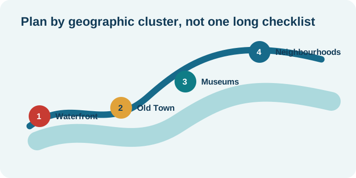
Budget planningToronto works better as connected clusters
The best plans join nearby places and leave margin for queues, transit delays, construction, weather and meals.
- Waterfront–Union: CN Tower, aquarium, harbourfront and ferry terminal.
- Old Town: St. Lawrence Market, historic streets and Distillery District.
- Museum corridor: ROM, Queen’s Park, Yorkville and the Annex.
- West-central: AGO, Chinatown, Kensington Market and Queen West.
Toronto through four seasons
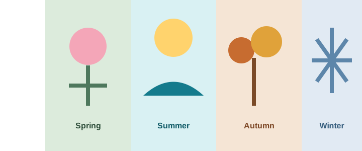
The right time depends on your tolerance for heat, cold, crowds, wind and changeable lake weather.
Use official sources for live decisions
This site explains planning logic. Official providers remain the source for fares, ferry schedules, ticket availability, closures, event dates and accessibility details.